
Where vision meets motion
We specialize in aerial drone surveys, 3D architectural rendering, and accurate plan-to-reality overlays. Whether you’re an architect, developer, or town planner, we help you see your designs like never before placed in real-world context with unmatched visual clarity.
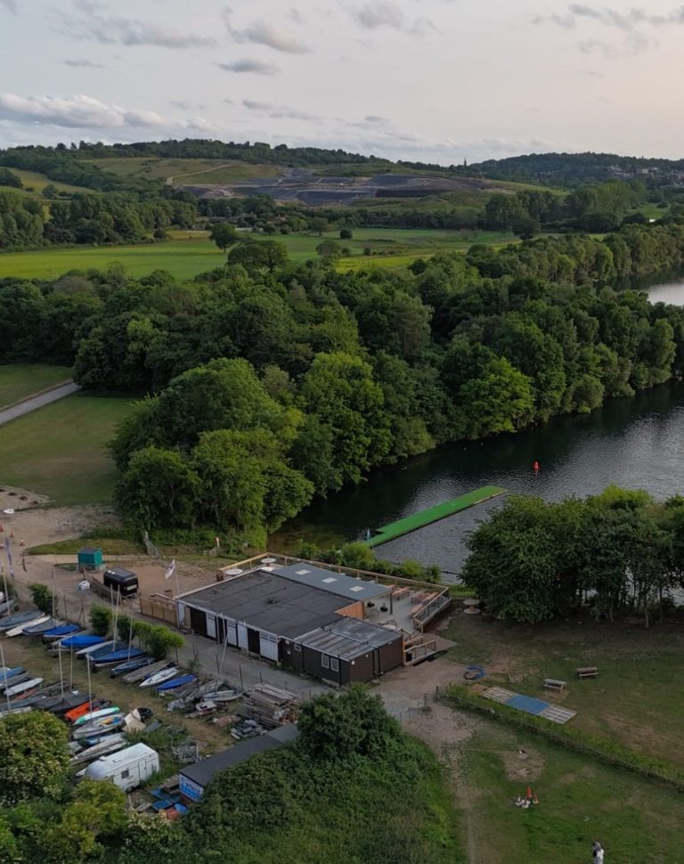
A new perspective from above
At Verixa, we don’t just capture images — we reveal context, structure, and clarity through the power of aerial visuals. From high-resolution drone photography to precise 3D mapping, our technology provides a vantage point that transforms how you see land, property, and progress. Whether you’re surveying a job site, showcasing real estate, or analysing terrain, we deliver insight you can’t get from the ground. Discover the difference a higher perspective can make.
01
Plan the mission
We start by understanding your objectives and the environment. Every project begins with a clear flight plan tailored to your visual needs.
02
Capture the data
Using advanced drones and high-resolution cameras, we capture detailed aerial and ground imagery from multiple angles for full coverage.
03
Process and refine
Our post-processing ensures every image is sharp, color-corrected, and professionally refined for maximum clarity and impact.
04
Deliver with clarity
You receive clean, ready-to-use visual assets—ideal for marketing, reporting, presentations, or site documentation.
Launch your project
Have a project in mind or just exploring ideas? We’d love to hear what you’re working on!